


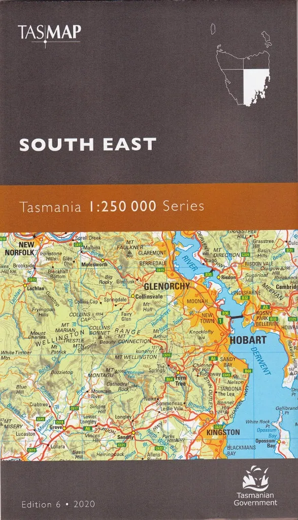
This is one of a series of 4 maps covering all of Tasmania (including Macquarie Island and King Island as insets). Individual maps cover an area of approximately 37,000 square kilometers.
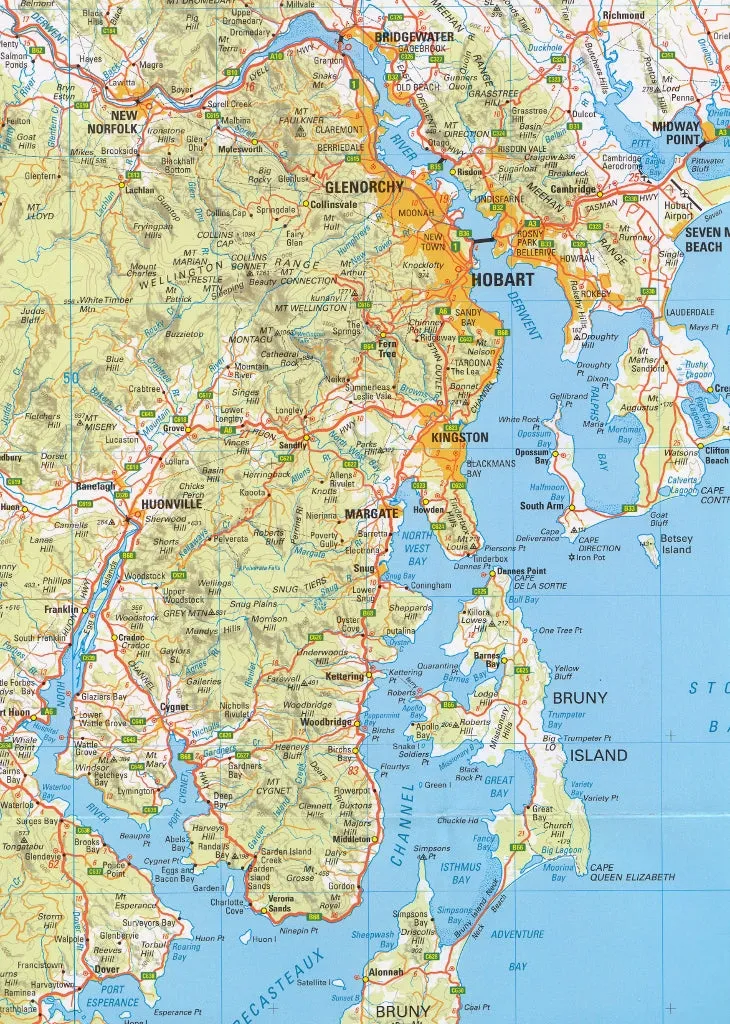
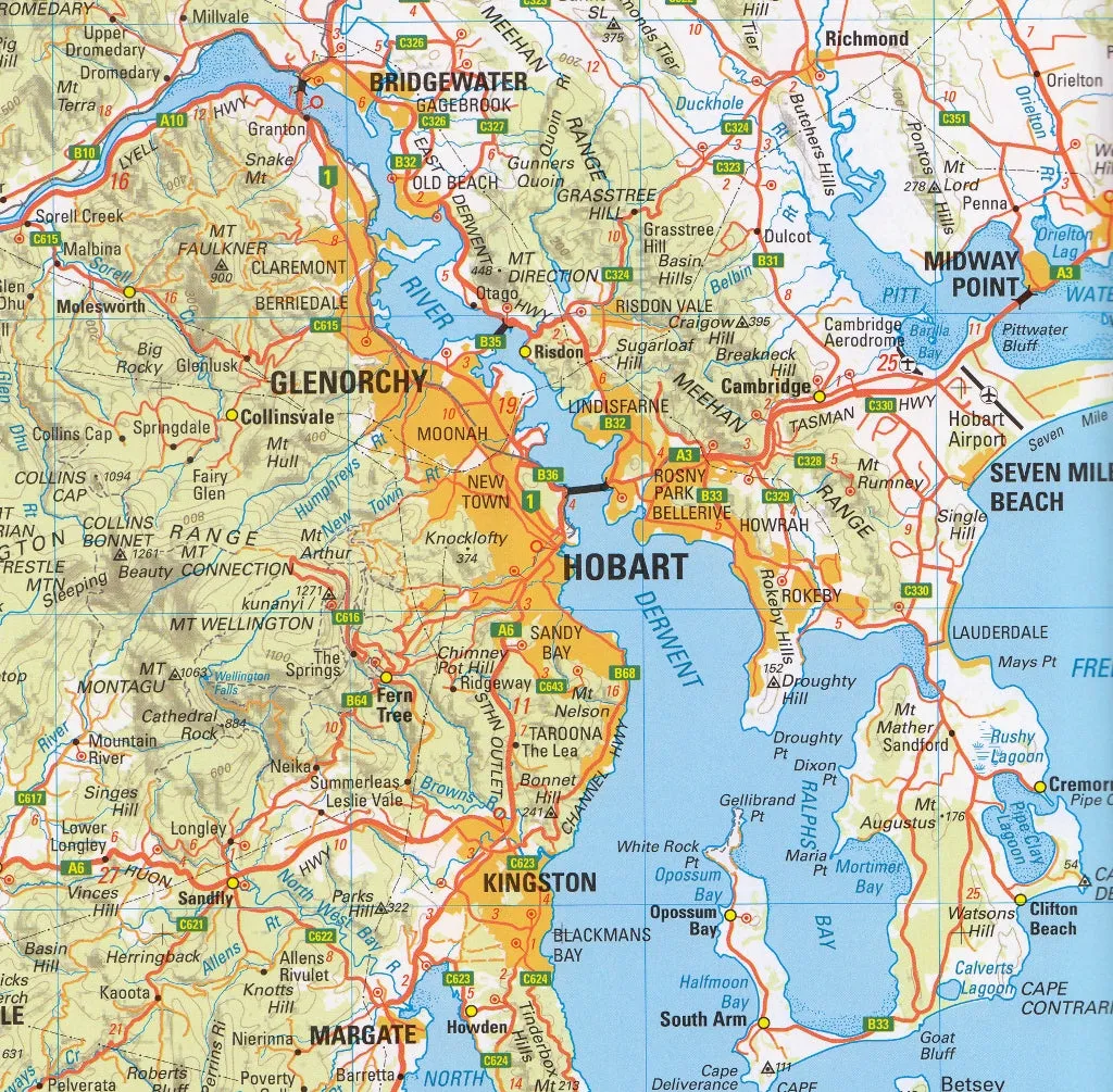
Roads are symbolised to reflect their surface and importance in the state network. Distance markers between population centres and major road intersections aid in navigation. The shape of the ground is depicted by a combination or contours (at a 100 metre vertical interval), hypsometric tinting and hillshading.
This series is recommended for regional planners or visitors intending to travel off the common tourist routes. It is popular with drivers, cyclists and people wanting a regional overview of an area.
Scale: 1:250,000


 All-Weather Kagu Series Black - Front / Second / Third Row")


